Architecture, Engineering, and Construction (AEC)
Drones in Architecture, Engineering, and Construction (AEC) improve efficiency, accuracy, and safety by enabling faster surveying, mapping, and progress tracking. They enhance project planning, reduce costs, and provide real-time data for better decision-making. Drones also improve safety by inspecting high-risk areas without putting workers at risk, while offering precise documentation for as-built records and post-construction inspections. These benefits streamline workflows and help deliver projects on time within budget.
PACKAGES
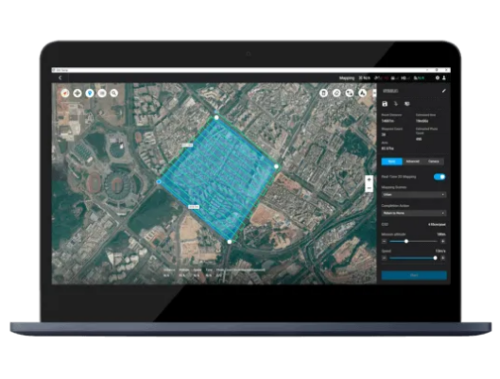
2D and 3D Mapping
Advance Mapping 2D, 3D, Lidar and Volumetric
Autonomous Flying/ Remote Control, Automatic Routine Inspection Tracker

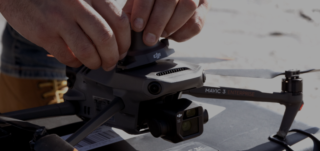
2D and 3D Mapping
A powerful tool for architects, engineers, and construction professionals. Its advanced imaging capabilities and precise flight control system make it ideal for capturing accurate and detailed aerial data.
WIDE
4/3 CMOS, 20 MP, Mechanical Shutter
TELE
Equivalent Focal Length: 162mm, 12MP 56x Hybrid Zoom


INCLUSIONS

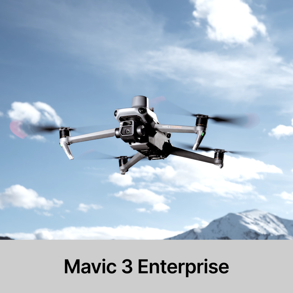
Mavic 3 Enterprise (Universal Edition)
- Compact and Portable
- 45-min Max Flight Time
- 4/3 CMOS Wide Camera
- 56× Hybrid Zoom
- DJI O3 Enterprise Transmission
- Centimeter-level Positioning with RTK
- High-Volume Loudspeaker
- Battery Included x1
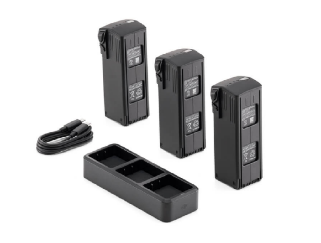
Mavic 3 Enterprise Series Battery Kit
- Dimensions: 114.1×82.0×54.7 mm (L×W×H)
- Weight: 85±2 g
- Interface: USB-C
- Rated Power: 3 W
- Max Volume: 110 dB @ 1 m*
- Effective Broadcast Distance: 100 m @ 70 dB*
- Bit Rate: 16 Kbps/32 Kbps
- Operating Temperature: -10° to 40° C (14° to 104° F)”
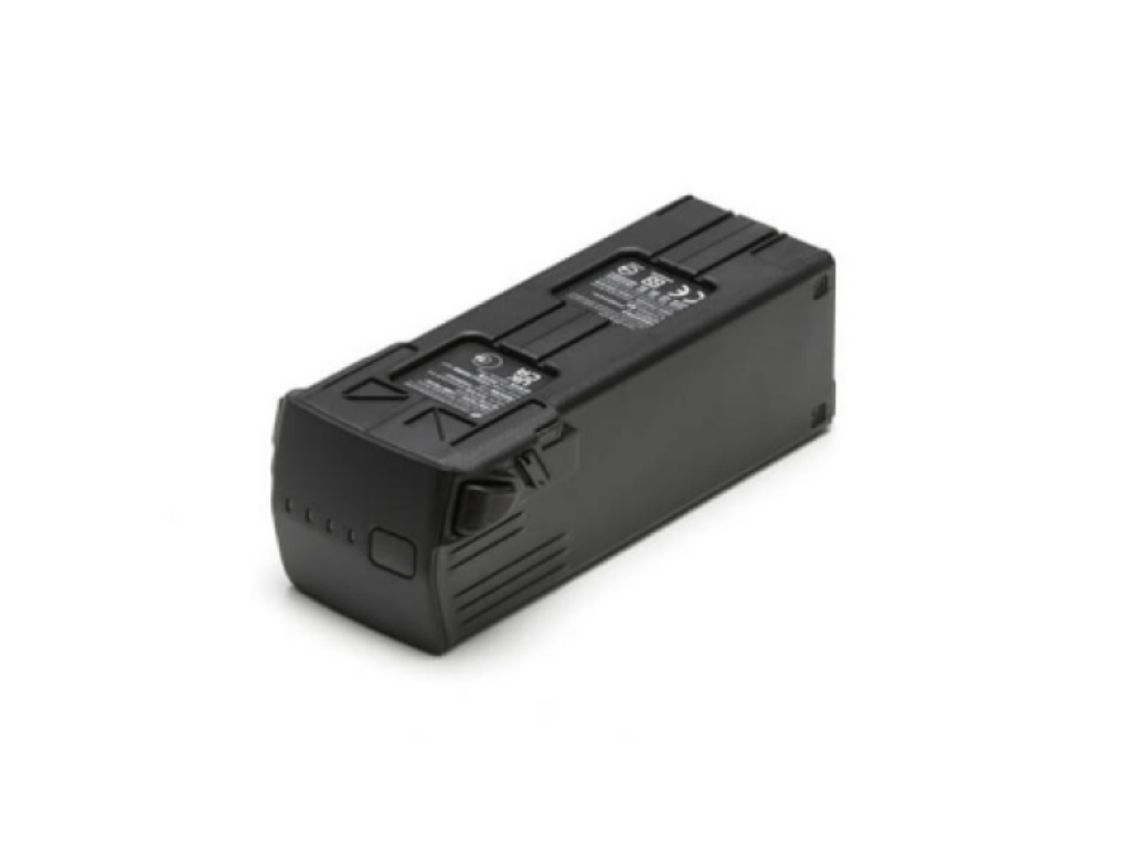
DJI Mavic 3 Intelligent Flight Battery
- Capacity5000 mAh
- Voltage15.4 V
- Charging Voltage Limit17.6 V
- Battery TypeLi-ion 4S
- Energy77 Wh.
- Weight335.5 g.
- Charging Temperature5° to 40° C (41° to 104° F)
Mavic 3 Enterprise Series RTK Module
- Compatibility: DJI Mavic 3 Enterprise
- Position Accuracy: Horizontal: 0.4″ / 1 cm + 1 ppm
- Vertical: 0.6″ / 1.5 cm + 1 ppm
- Navigation System:
- GPS: L1C, A L2C & L2P
- Beidou: B1I & B2I
- GLONASS: G1 & G2
- Galileo: E1 & E5b
- QZSS: L1 & L2
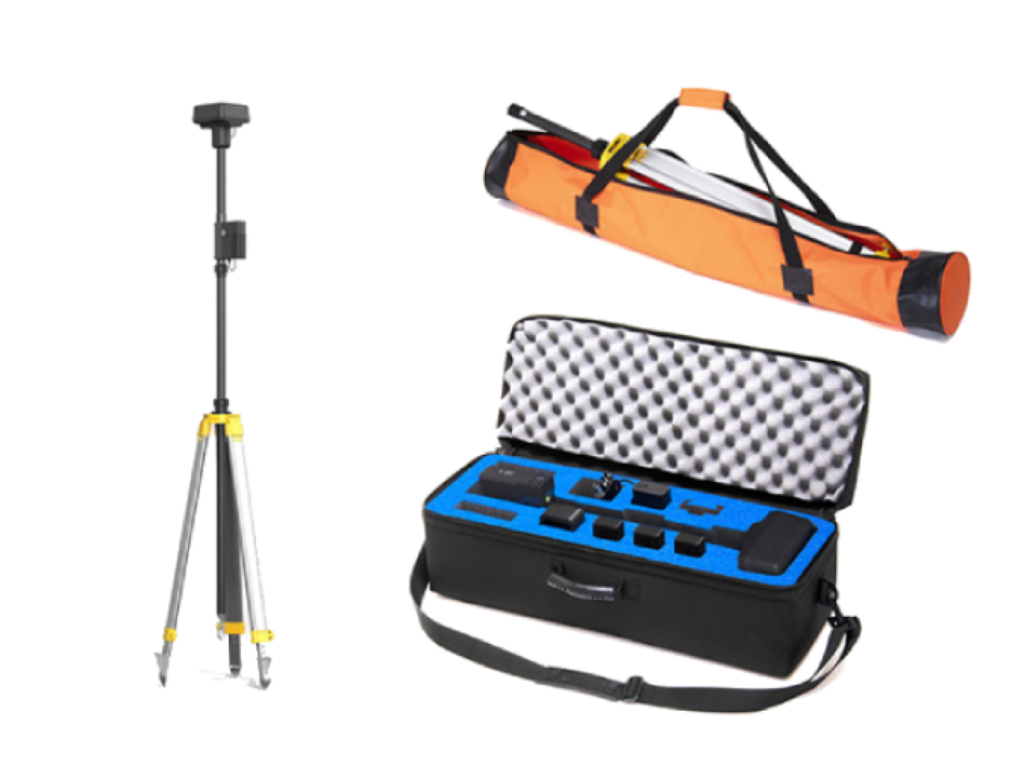
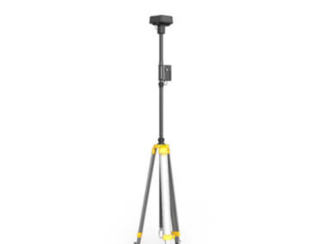
D-RTK 2 BASE STATION SET
- D-RTK 2 High Precision Station and Tripod set
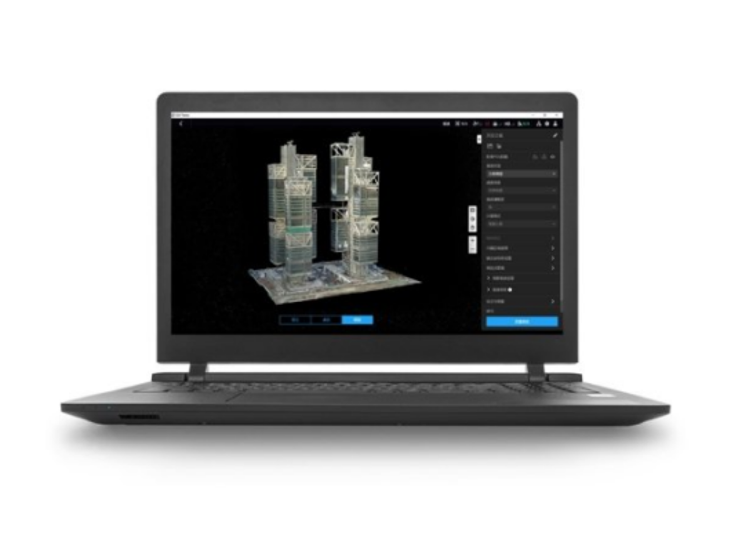
DJI Terra Pro Overseas Permanent (offline)
- DJI FlighDJI Terra Pro Permanent Offline VersiontHub 2 Recharge
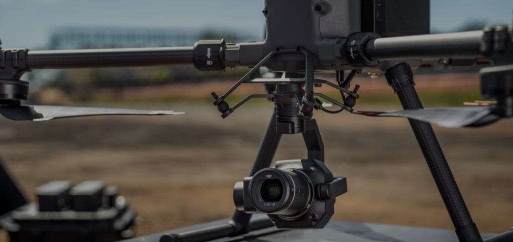
Advance Mapping 2D, 3D, Lidar and Volumetric
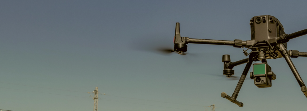
High-performance drone platform designed to revolutionize the way architects, engineers, and construction professionals work. Its advanced capabilities and modular design make it ideal for a wide range of applications, including advanced mapping, surveying, and inspection.
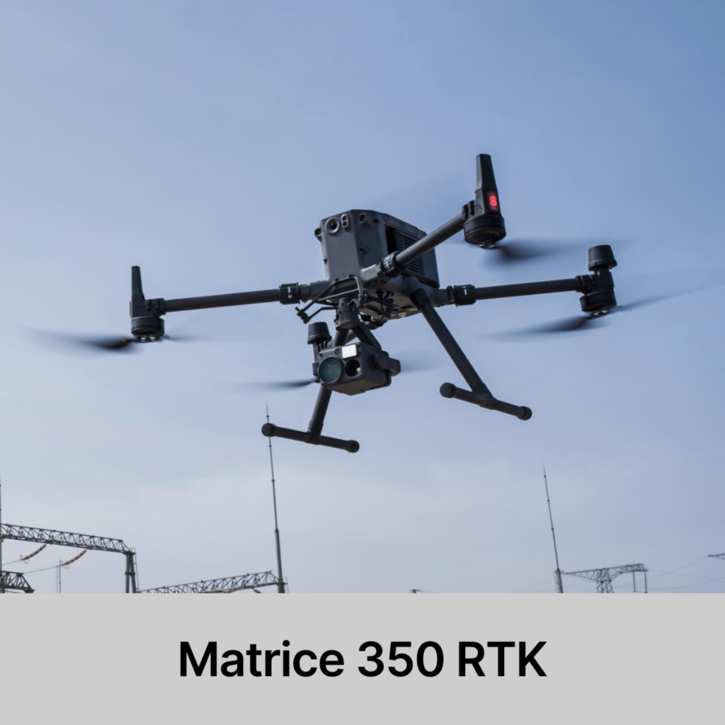
Effortlessly Powerful Flight Performance
Built tough, the Matrice 350 RTK features powerful propulsion, enhanced protection rating, and excellent flight 8, allowing it to effortlessly tackle a wide variety of challenges.
INCLUSIONS
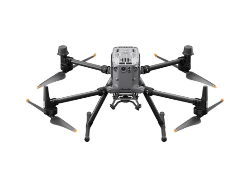
MATRICE 350 RTK
- 55-Min Max Flight Time
- IP55 Rating
- DJI O3 Enterprise Transmission
- DJI RC Plus
- 400 Battery Cycles
- 6-Directional Sensing & Positioning
- Night-Vision FPV Camera
- Multi-Payload Support
- 2.7 kg payload capacity
- 7000m Max Flight Altitude
- 20km Max Transmission
- IP54 Rating Remote Controller
- Arm Lock Indicator
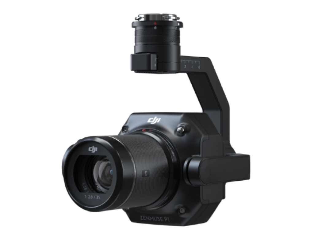
Zenmuse P1 (PHOTOGRAMMETRY)
- Accuracy without GCPs: 3 cm horizontally / 5 cm vertically
- Global Mechanical Shutter, Shutter Speed 1/2000 Seconds
- Smart Oblique Capture
- 45 MP Full-frame Sensor
- Includes a 6 months license for DJI Terra Electricity Version
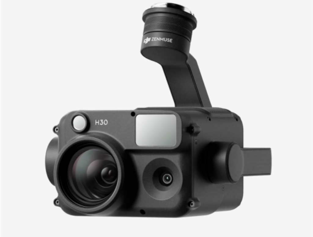
Zenmuse H30 (HIGH RESOLUTION
WITH ZOOM)
- The DJI Zenmuse H30 series transforms aerial surveillance and inspection tasks with cutting-edge features tailored for various industries. Its high-resolution imaging, and exceptional night vision enable precise monitoring and analysis in diverse environments. From wildlife conservation to energy inspection and emergency response, the H30 series ensures efficient operations and reliable results, enhancing safety and effectiveness in critical situations.
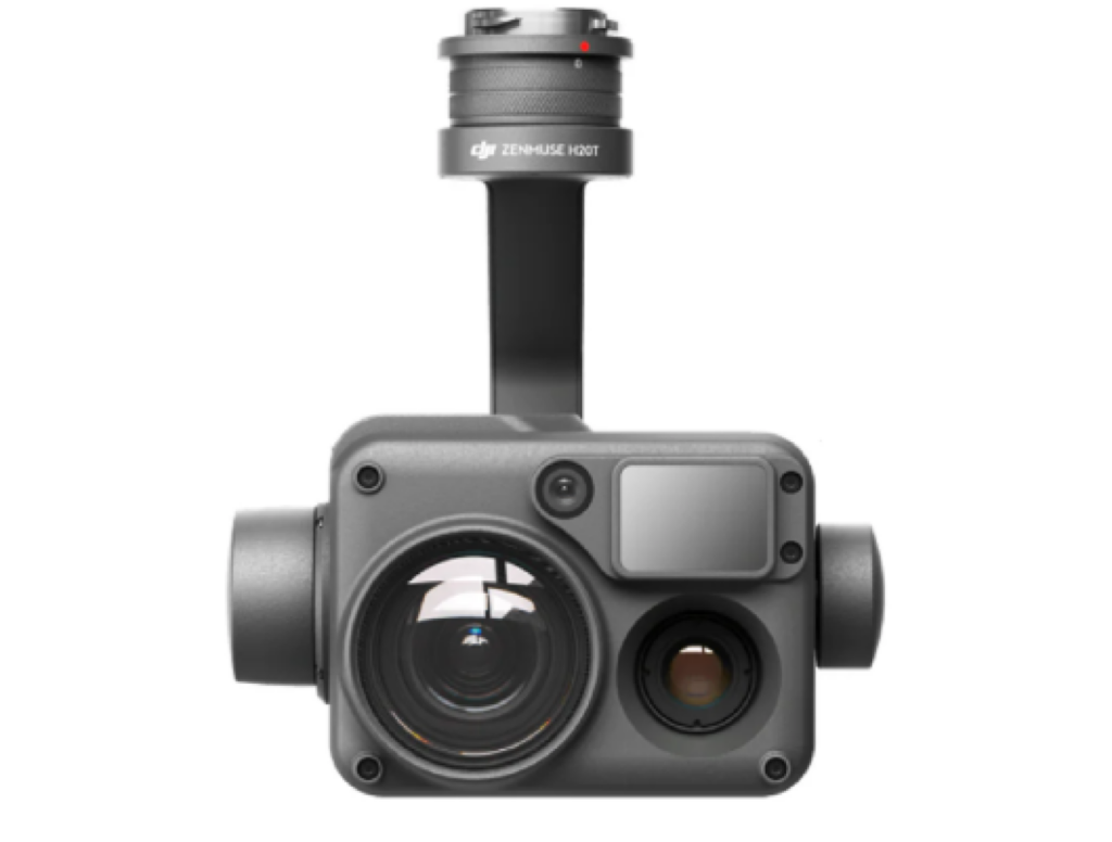
Zenmuse H20
- 20 MP Zoom Camera
- 23x Hybrid Optical Zoom
- 12 MP Wide Camera
- LRF Wavelength: 905 nm
- Night Scene Mode
- IP44 Rating

Mavic 3 Enterprise Series Battery Kit
- The DJI Zenmuse L2 is an integrated geospatial data acquisition system. It combines frame LiDAR technology, a high-accuracy IMU system, and a 4/3 CMOS RGB mapping camera. This system is designed to provide precise and efficient data collection capabilities when used with DJI flight platforms, particularly when integrated with DJI Terra software. The Zenmuse L2 offers high vertical and horizontal accuracy of 4 cm and 5 cm, respectively, covering a substantial 2.5 km² area in a single flight.
D-RTK 2 Set
- D- RTK 2 Base Station with Tripod
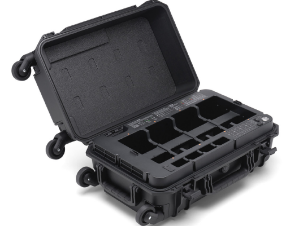
MATRICE 350 BS65 Intelligent Battery Station
- The BS65 Intelligent Battery Station offers a comprehensive solution for battery charging, storage, and transportation needs. With the introduction of the Storage Mode and Ready-to-Fly Mode, the charging efficiency is enhanced, and the battery life is prolonged. Moreover, the battery station features a newly designed set of 360°-movement wheels, allowing for easier and more convenient transportation.
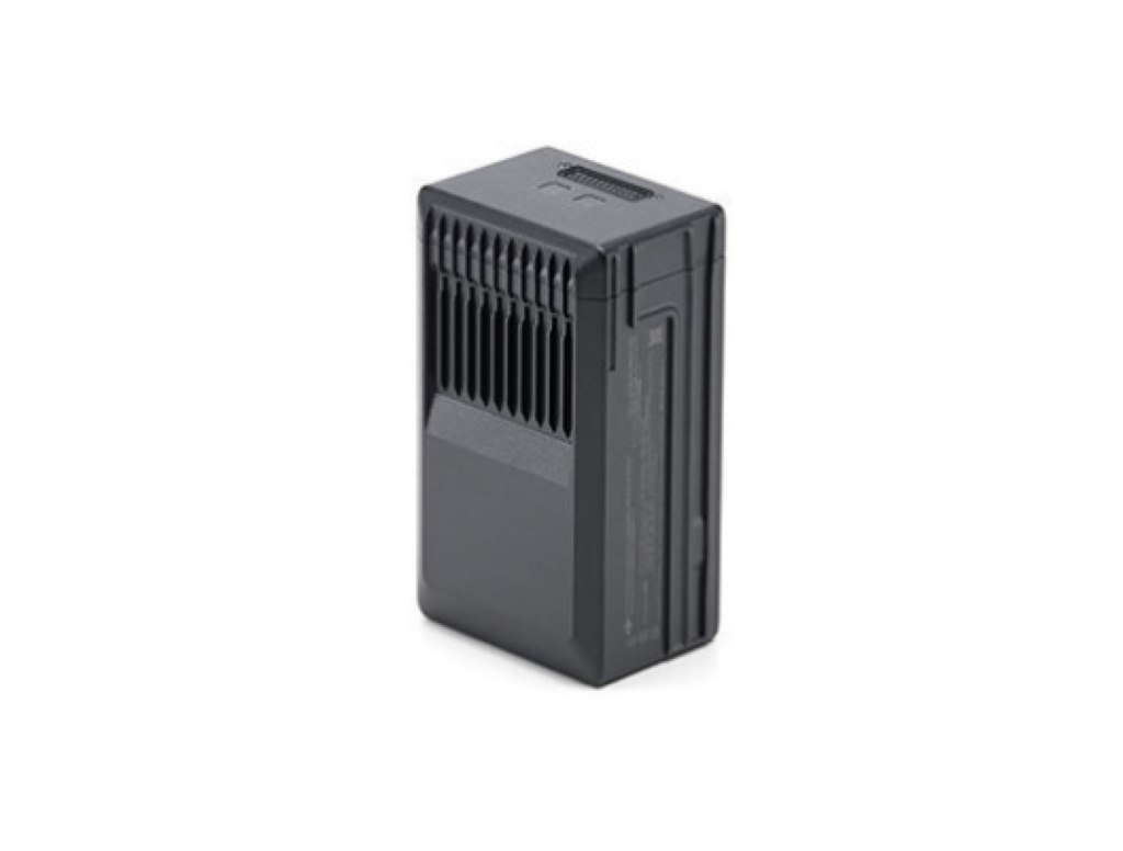
MATRICE 350 TB65 Intelligent Flight Battery
- The TB65 Intelligent Flight Battery utilizes advanced high-performance cells that offer exceptional energy capacity. With a charging capability of up to 400 cycles, it significantly decreases the expenses associated with each individual flight. Additionally, it boasts improved heat dissipation capabilities and features an auto-heating system for optimal performance.
DJI Terra Pro Overseas Permanent (offline)
- DJI Terra Pro Permanent Offline Version
One time payment for DJI Terra capable of usage without internet
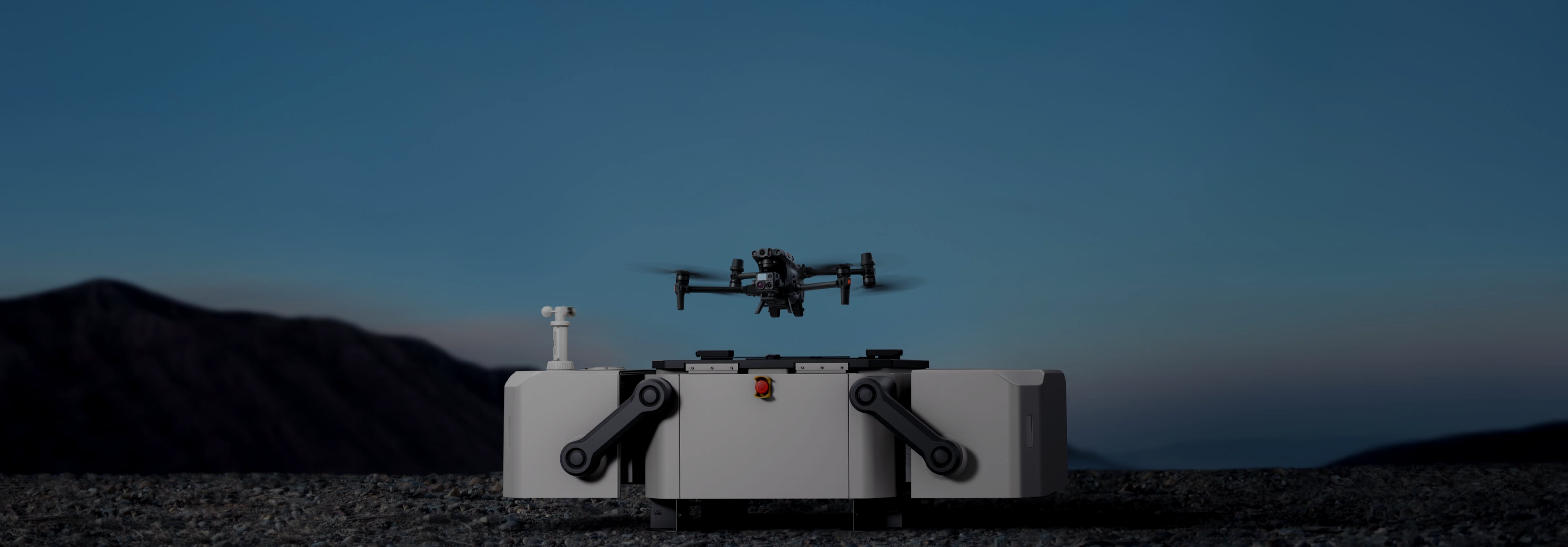
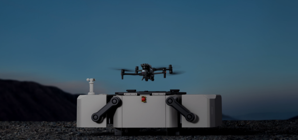
Autonomous Flying/ Remote Control, Automatic Routine Inspection Tracker
An innovative drone platform designed to streamline routine inspection tasks, enhance safety, and improve operational efficiency for architecture, engineering, and construction (AEC) professionals.
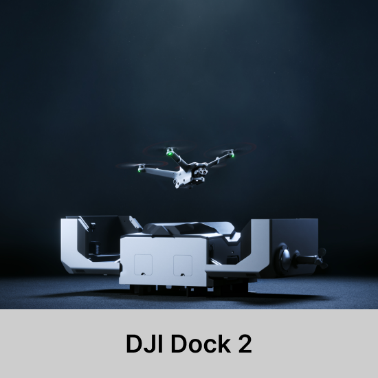
Lightweignt Design
DJI Dock 2 is 75% smaller and 68% lighter than its predecessor and its easily transportable with just two individual, which makes for flexible installation and reduces installation costs.

INCLUSIONS
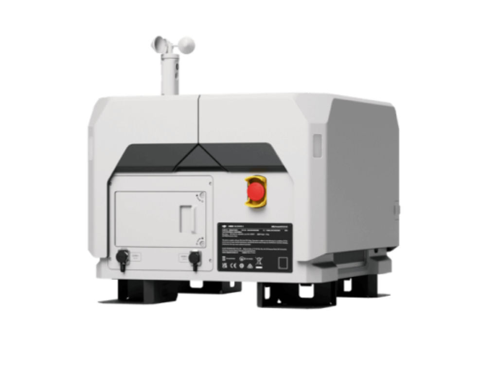
DJI Dock 2
- Remotely conduct autonomous drone missions with DJI Dock 2, tailored for diverse environments and weather conditions, ensuring operational excellence anytime, anywhere.
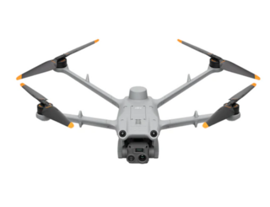
DJI Matrice 3D
- Rated IP54: Dustproof and Waterproof
- 50 Minute Max Flight Time
- 6-Directional Obstacle Sensing System
- 10 km Max Effective Operating Radius
- Integrated RTK Module: ±3cm Positioning Accuracy
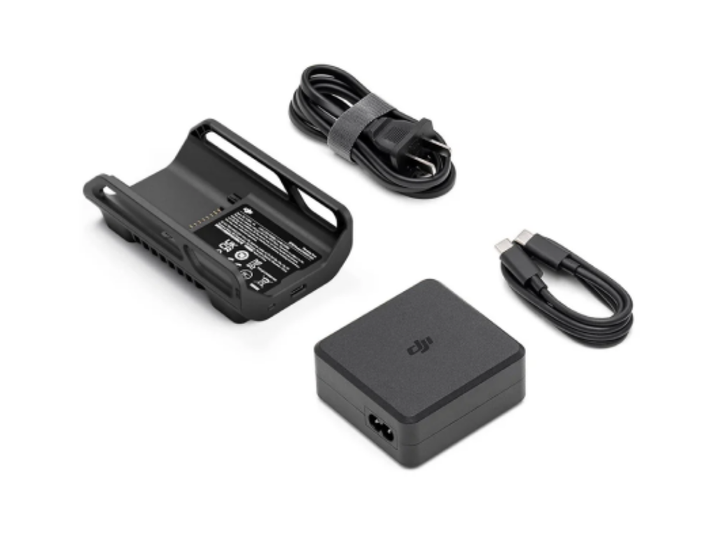
DJI Matrice 3D Series Charging Kit
- DJI Matrice 3 Dock Batter Station Kit
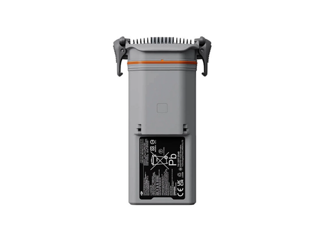
DJI Matrice 3D Series Intelligent Flight Battery
- DJI Matrice 3 Dock Intelligent Flight Battery
DJI FlightHub 2 Professional Version (12-Month Plan) (2,000 minutes per month)
- DJI FlightHub 2 12 Month Plan
2,000 minutes monthly for 12 months
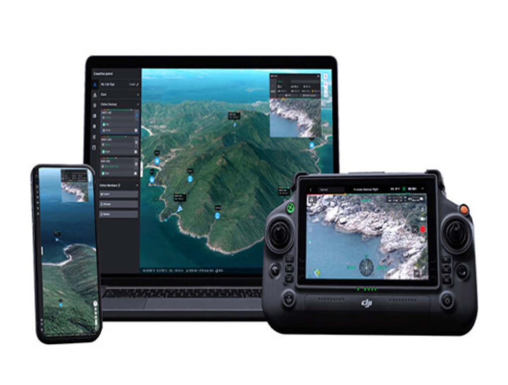
DJI FlightHub 2 Livestream Minutes Recharge Package (10,000 minutes)
- DJI FlightHub 2 Recharge
Refills 10,000 minutes to your DJI FlightHub 2 account
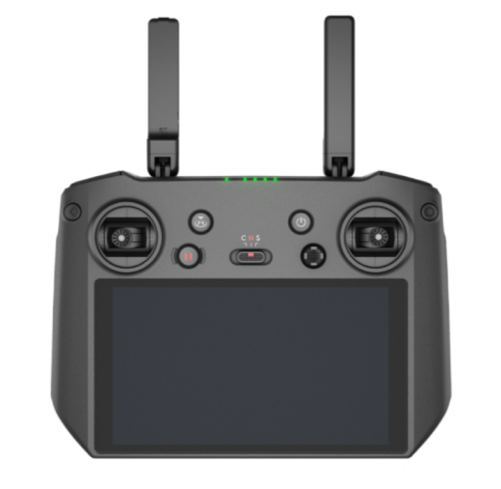
DJI RC Pro Enterprise
- The DJI RC Pro Enterprise Remote Controller for Mavic 3 Enterprise is a high-performance device that allows you to control your drone with precision and ease. It features a 5.5-inch screen with 1080p resolution, a built-in speaker and microphone, and a customizable button layout. You can also connect it to the DJI Smart Controller Enterprise or a mobile device via HDMI or USB-C for more options. The DJI RC Pro Enterprise Remote Controller is compatible with the Mavic 3 Enterprise series, which offers advanced features such as thermal imaging, spotlight, beacon, and dual-vision sensors. Whether you are using your drone for inspection, rescue, or security, the DJI RC Pro Enterprise Remote Controller will help you get the job done efficiently and safely.
Industries
Architecture, Engineering, and Construction (AEC)
Enhance precision and efficiency with DJI Enterprise drones for site surveys, 3D modeling, and progress tracking.
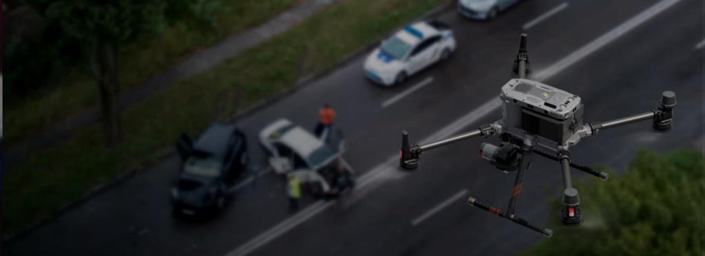
Public Safety
Empower responders with DJI Enterprise drones for rapid assessment, search and rescue, and situational awareness, ensuring safer and faster operations.
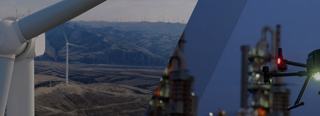
Inspection
Streamline asset inspections with DJI Enterprise drones, providing detailed visuals, enhanced safety, and improved efficiency for hard-to-reach structures.
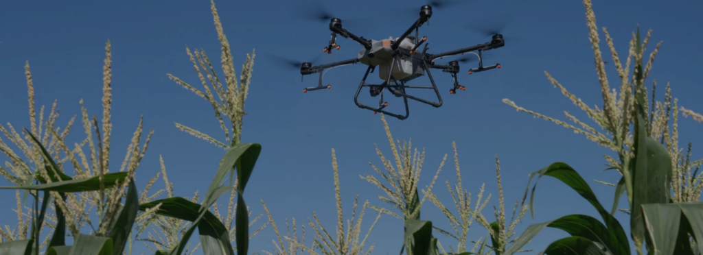
Agriculture
Optimize farming with DJI Enterprise drones, enabling precision spraying, crop monitoring, and data-driven decisions for increased yields and efficiency.